File:1976 Coleco Telstar Classic.jpg
Size of this preview: 800 × 421 pixels. Other resolutions: 320 × 168 pixels | 640 × 336 pixels | 1,024 × 538 pixels | 1,280 × 673 pixels | 3,799 × 1,997 pixels.
Original file (3,799 × 1,997 pixels, file size: 3.38 MB, MIME type: image/jpeg)
Captions
Captions
Add a one-line explanation of what this file represents
SummaryEdit
| Description |
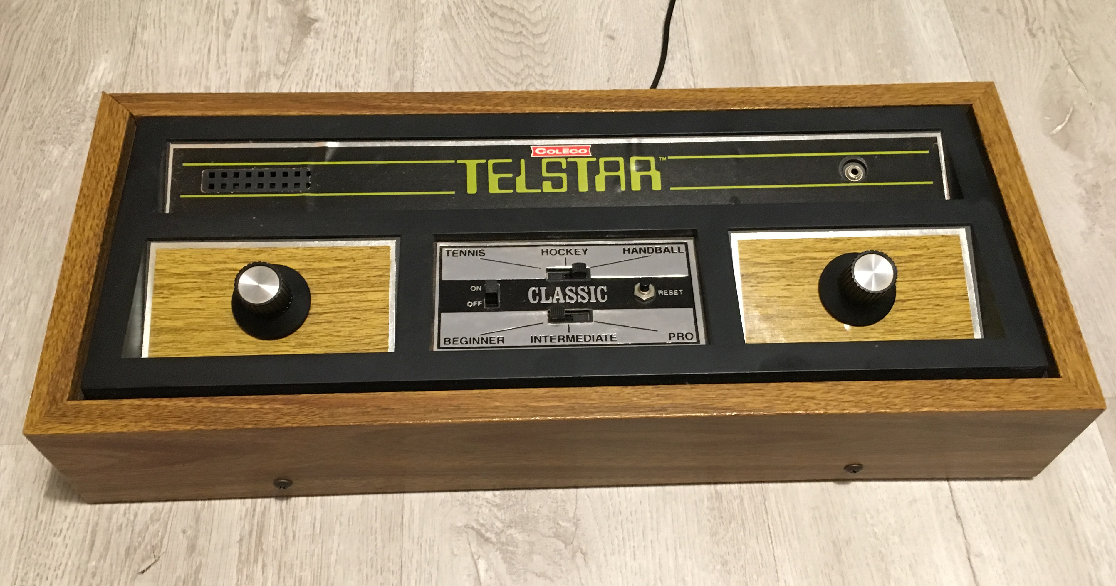
Español: Wood, plastic, metal, wires |
| Date | |
| Source | Own work |
| Author | Philmortonfan |
| Camera location | | View this and other nearby images on: OpenStreetMap |
|---|
LicensingEdit
I, the copyright holder of this work, hereby publish it under the following license:
This file is licensed under the Creative Commons Attribution-Share Alike 4.0 International license.
- You are free:
- to share – to copy, distribute and transmit the work
- to remix – to adapt the work
- Under the following conditions:
- attribution – You must give appropriate credit, provide a link to the license, and indicate if changes were made. You may do so in any reasonable manner, but not in any way that suggests the licensor endorses you or your use.
- share alike – If you remix, transform, or build upon the material, you must distribute your contributions under the same or compatible license as the original.
File history
Click on a date/time to view the file as it appeared at that time.
| Date/Time | Thumbnail | Dimensions | User | Comment | |
|---|---|---|---|---|---|
| current | 18:01, 17 May 2019 | | 3,799 × 1,997 (3.38 MB) | Philmortonfan (talk | contribs) | Cross-wiki upload from es.wikipedia.org |
You cannot overwrite this file.
File usage on Commons
There are no pages that use this file.
File usage on other wikis
The following other wikis use this file:
- Usage on es.wikipedia.org
Metadata
Structured data
coordinates of the point of view<\/a>"}},"text\/plain":{"en":{"":"coordinates of the point of view"}}},"{\"value\":{\"latitude\":42.547981,\"longitude\":-2.573172,\"altitude\":null,\"precision\":1.0e-6,\"globe\":\"http:\\\/\\\/www.wikidata.org\\\/entity\\\/Q2\"},\"type\":\"globecoordinate\"}":{"text\/html":{"en":{"P1259":"42\u00b032'52.732"N, 2\u00b034'23.419"W"}},"text\/plain":{"en":{"P1259":"42\u00b032'52.732\"N, 2\u00b034'23.419\"W"}}},"{\"value\":{\"entity-type\":\"property\",\"numeric-id\":7787,\"id\":\"P7787\"},\"type\":\"wikibase-entityid\"}":{"text\/html":{"en":{"":"<a target=\"_blank\" title=\"d:Special:EntityPage\/P7787\" href=https://commons.m.wikimedia.org/"https:////www.wikidata.org//wiki//Special:EntityPage//P7787/">heading"}},"text//plain":{"en":{"":"heading"}}},"{/"value/":{/"amount/":/"+45.18207/",/"unit/":/"http:////////www.wikidata.org////entity////Q28390/"},/"type/":/"quantity/"}":{"text//html":{"en":{"P7787":"45.18207 <span class=\"wb-unit\">degree<\/span>"}},"text\/plain":{"en":{"P7787":"45.18207 degree"}}}}" class="wbmi-entityview-statementsGroup wbmi-entityview-statementsGroup-P1259 oo-ui-layout oo-ui-panelLayout oo-ui-panelLayout-framed">